Author: Reece Legault
General area: Pine Pass
Trip start date: 2021-03-29
Number of nights: 5
The Plan: Start at the Beaver Trail and head up to Murray Peak, then traverse all the way to the Anzac River (Crocker FSR).
The Team: Reece & Ben
Day 1
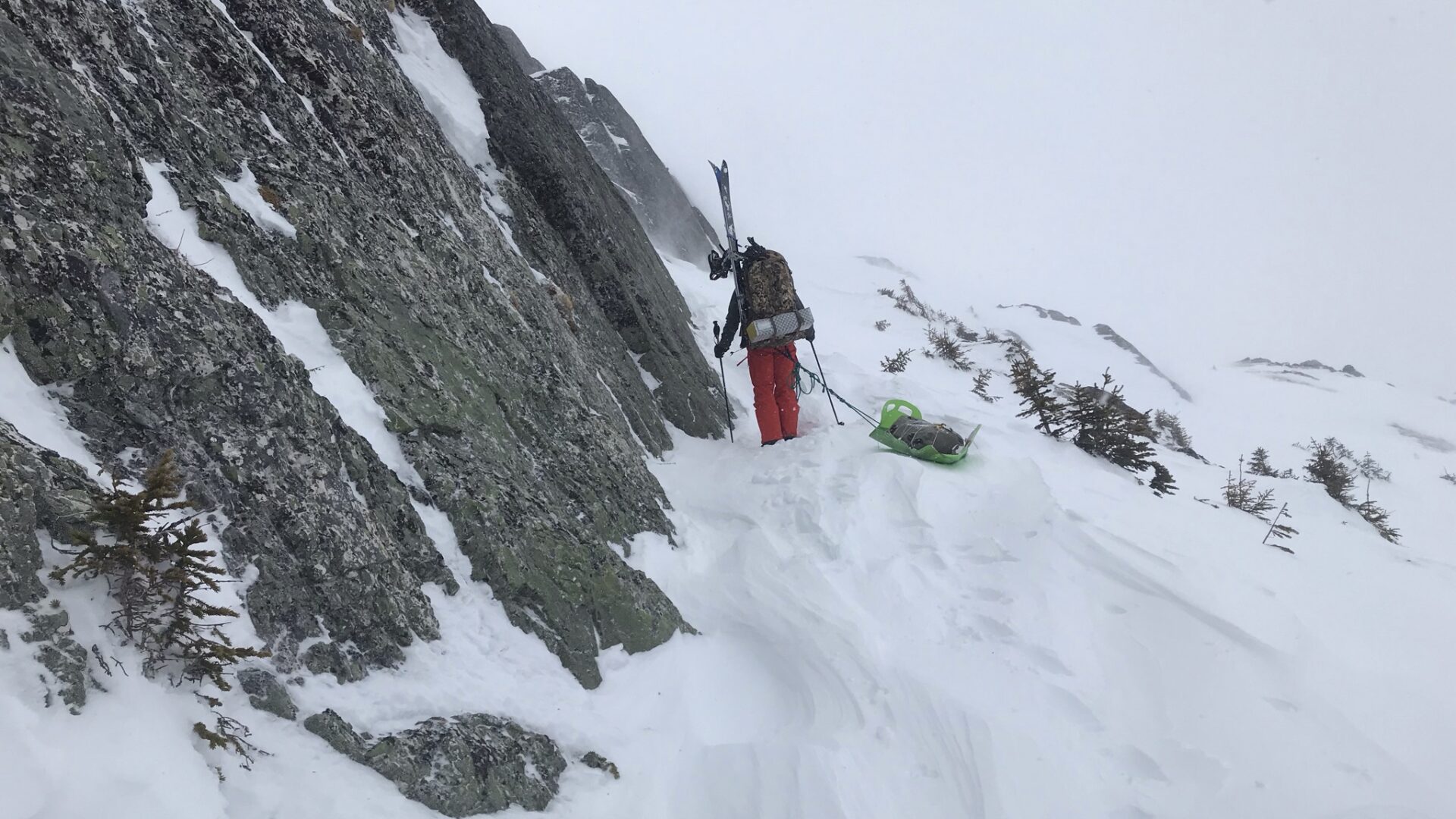
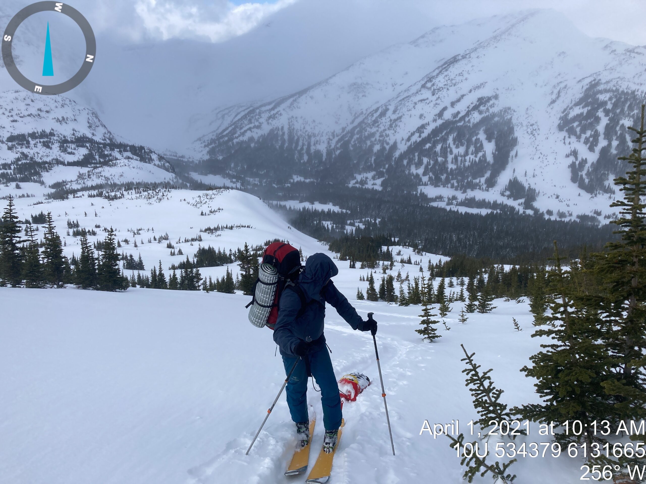
The start of the route is normally used by sledders to access the alpine at the northwest end of Pine Le Moray Provincial Park. We started on a clear, sunny day, and followed a wave train of sled tracks. As we made our way up into the alpine, we were constantly stopping to make adjustments to our new pulk set ups (before the trip we modified crazy carpets into pulks to haul food and heavier gear). It took a bit to get used to them, but they made our lives a lot easier. We rigged a purcell prusik and a bungee cord in the haul line for quick length adjustments and shock absorption.
Once the trail disappeared in the alpine, we veered southeast towards the backside of Mount Murray. After climbing the first spur off the main ridge, we had some fun learning how to ski down while towing our pulks. Going between our legs, rolling, getting stuck in trees, and pulling us in every which direction. They were tricky to control and we each took our fair share of spills.
We set up camp in a long treed valley running parallel to the main ridge. Realized we forgot the lid for the pot and ended up using the tin base from my MSR dragonfly stove. We substituted an avi shovel for the stove base. It was a clear calm night with a big moon. The last one we would have…
Day 2
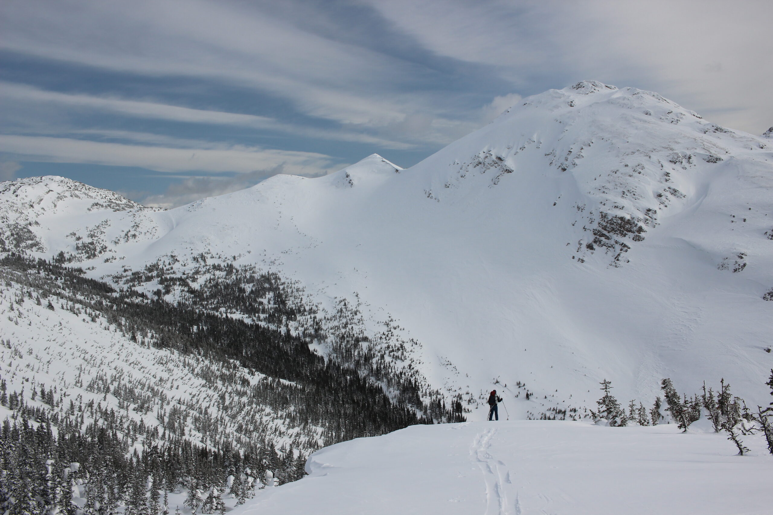
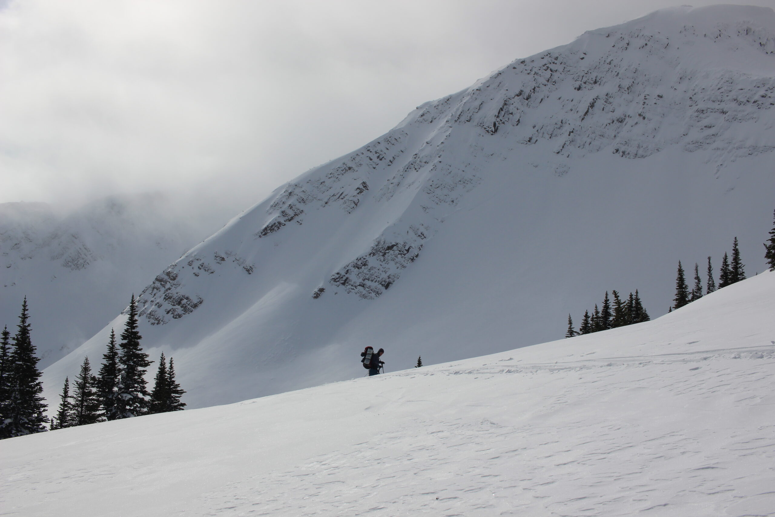
Once the wind started it never stopped. We had originally planned to traverse higher up on the ridge but the high winds kept us down low in the trees. We opted to take the longer/flatter route around some of the spurs coming off the main ridge as they were steeper than expected. The snow was firm and made for quick travel. Once we found our groove, we were able to cover a good chunk of ground.
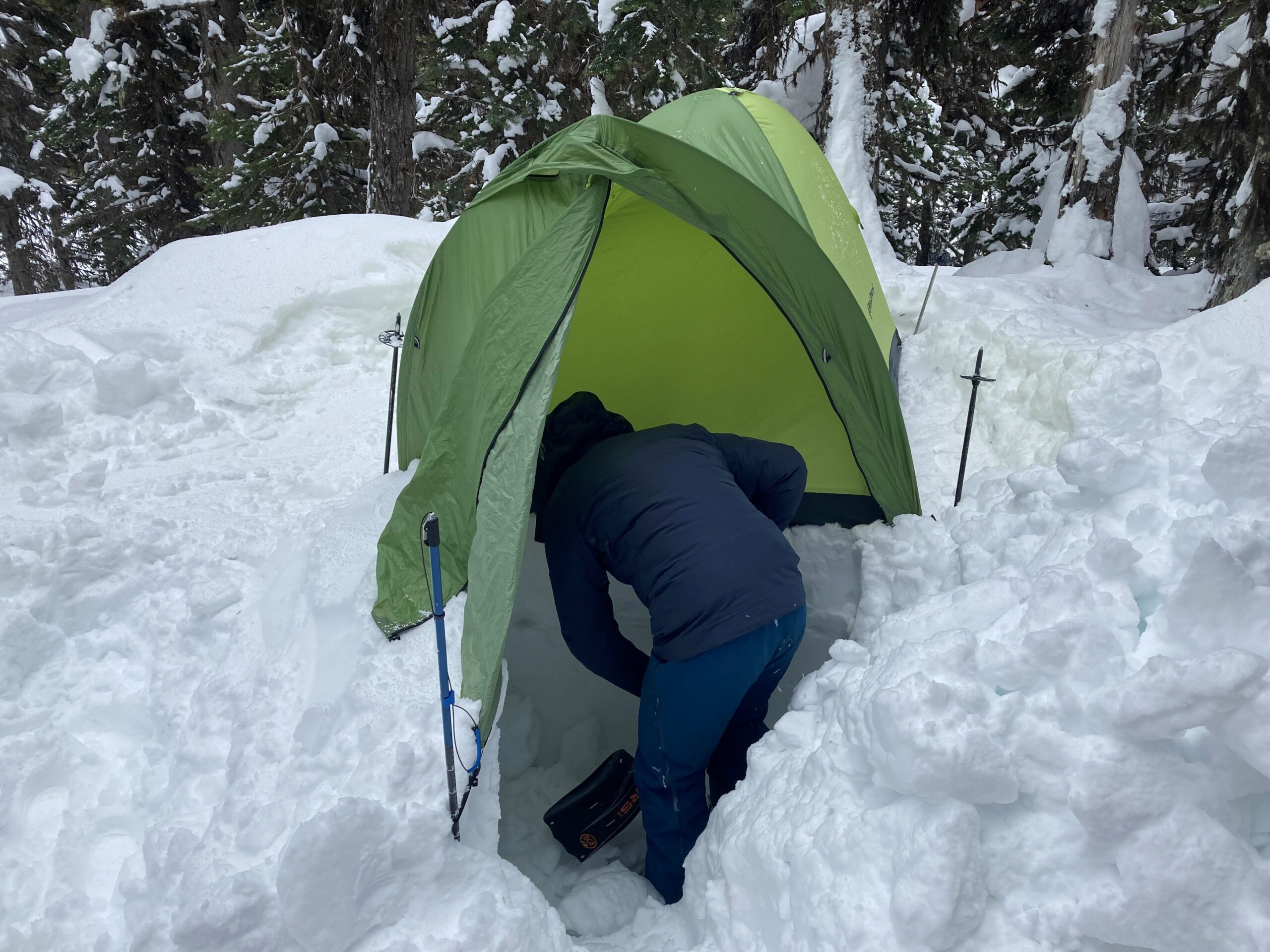
We camped in a clump of balsam fir and dug a pit with seats for protection from the wind while we melted snow and boiled water. With no warm cabin to escape to and just a flimsy single wall tent bending and twisting in the wind all night, we were officially in it.
Day 3
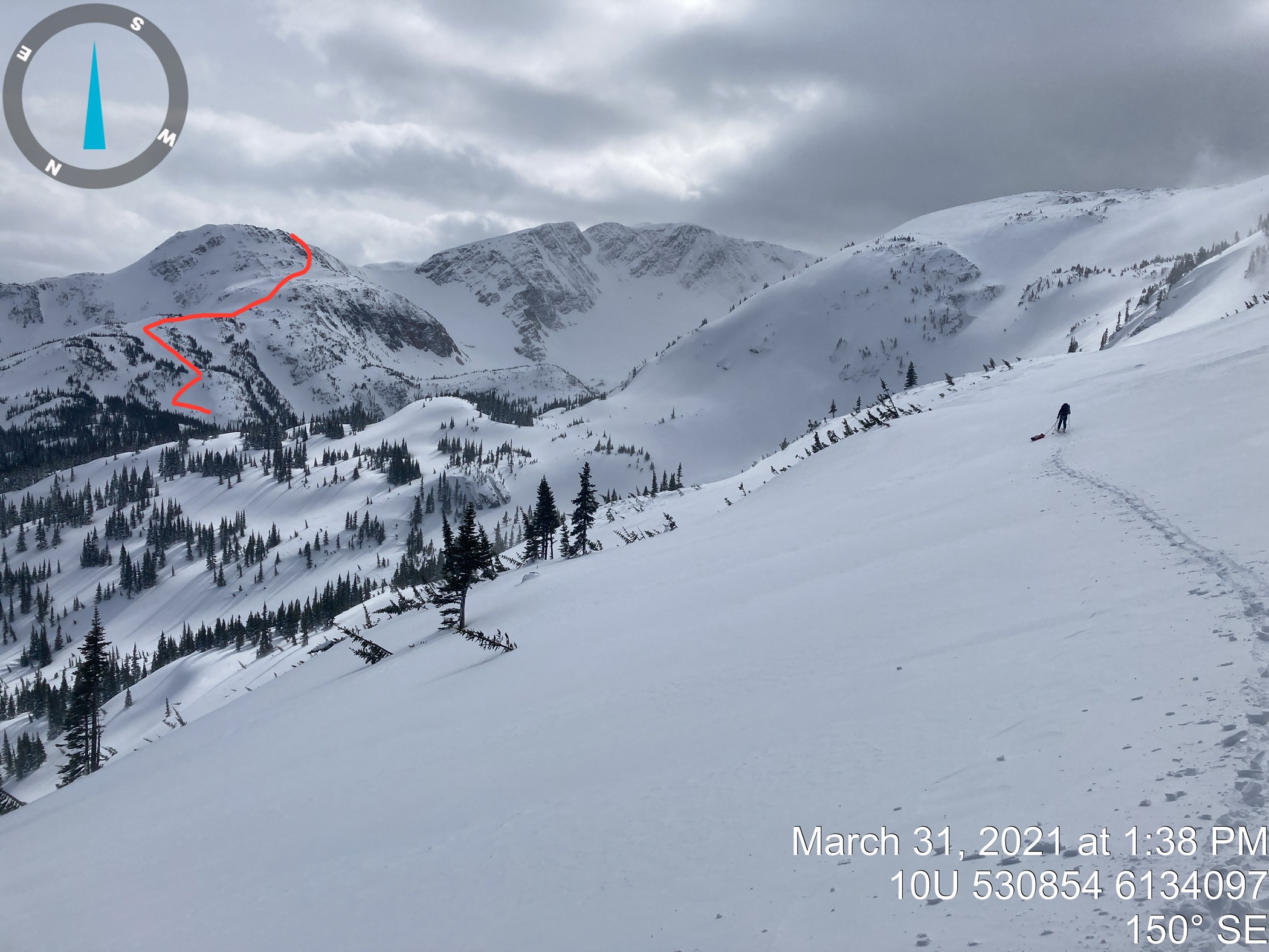
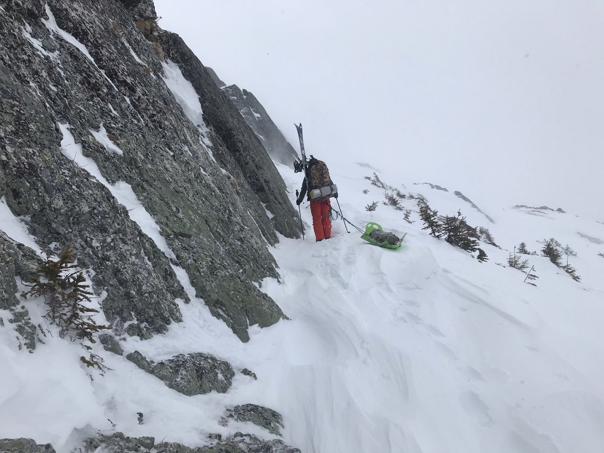
Despite being overcast and windy all day, we had good visibility. We stayed low for most of the day as we wrapped around the toes of the ridge spurs. We met our first major challenge in the afternoon, when the spur ahead of us turned out to be way larger than we had anticipated, and the detour around was significant. There was only one ascent option in the conditions, a series of small, steep pitches and benches leading to a broken, rounded peak. The wind swept upper pitches were hard packed and my ski crampons came in handy. The final rocky pitch was a mix of boot packing and technical skinning with our pulks in tow. Every inch we gained felt like a mile, through varying conditions of soft deep snow, and hard compact.
When we finally reached the peak, we were met with whiteout conditions. Our pre-mapped track on Ben’s phone was a life saver for finding a safe descent. We dropped down to skiers right off the peak, onto a gentle ramp and skied down into the valley. The snow was hard and compact, leaving tracks almost impossible to see. Because of this, I almost lost Ben and it was a good reminder that we should have had a plan in place prior to the descent in case we lost each other due to poor visibility. Saving each other’s InReach information in our devices would have been a good idea. Once we reached the valley bottom, we decided to set up camp in the cover of the trees. The weather was too poor to safely continue and we had access to open water in a stream.
Day 4
The storm let up some, but it was still windy and overcast as we ascended the next big spur. The top of the spur was plateaued with a snow filled notch cutting through it, and we enjoyed a brief moment of blue skies as we traveled through it. That moment didn’t last long, as I lifted my head to see a wall of white coming towards us. Boom! Hit by a wall of wind and snow, both Ben and I were knocked over flat on our butts! We took a moment to laugh it off, before getting up and continuing on.
Once through this section, we were met with the final spur coming off Murray Ridge. While not technically challenging, it was difficult to identify a clear, safe route. Once we got down into the valley and were able to view the spur from a new vantage point. Here, we picked a route that had appeared to be too steep from the last ridge. Clumps of trees scattered the route between short, steep, open pitches. Heading up, it would be difficult to communicate due to the high wind and distance between “safe” regroups on treed benches and ridges. Ben took the lead, and we crossed a larger slide path near the bottom to gain a small, treed ridge. It was a lot of quick kick turns through the tight trees to get to the top. As I reached the last clump of trees before the open pitch below the top, I looked up to see an avalanche coming down the open slope that we had traversed lower down. I instinctively grabbed a tree and hung on. I was filled with panic as I realized that Ben could be caught in the avalanche. I desperately tried to look for him in the debris as the snow flew down the slope, covered our skin track and smashed into the trees below. Thankfully, I soon saw Ben was watching the slide from a bench above me.
Ben had waited at the top of the ridge until I was safe on the ridge below him before he began his ascent of the last pitch. He used the time to carefully pick the shallowest ramp on the slope to ascend. The snow quickly felt deeper and denser than it had on the slopes below as he started up. A few kick turns into his ascent, he triggered a wind slab not far to his right where the slope was a bit steeper. If he had not been carefully watching the terrain and my progress, one of us could have been caught by the avalanche and smashed into the trees below. It was a close call and a good lesson. The steep pitches that we crossed lower down did not slide because they weren’t loaded like the crest of the slope. We made our way back up to where Ben triggered the slide and went one by one. The final pitch offered a narrow section of slope with a low enough angle to make it safe. It was a stressful climb of short kick turns on the sloughing wind slab. I was very happy when we made it to the top.
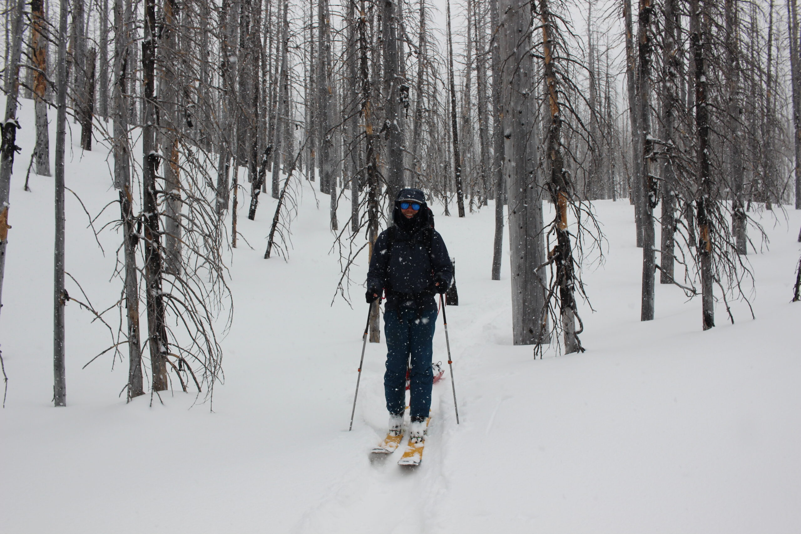
The entire south face of the ridge and most of the valley below had burned in 2014. We travelled east on the ridge for 1 km before dropping down into the burn. The upper portion was composed of dense, stunted, burn-hardened balsam. The sharp branches clawed at our clothing and pulks. Further down the slope the trees opened to what would have been an epic run, if we weren’t so exhausted.
We had a clear view of what we would be tackling the next day on our way down, and were able to contemplate our options. Our first option was a technical ridge leading into the pass, which would mark the beginning of the second leg of our trip. The second option was to go all the way down to the valley, skirt around the ridge, and ascend a steep chute below a large exposed face. A big decision loomed over us, as this was our last chance to bail and take the Missinchinka Valley to Powder King.
We stopped at the saddle before the technical ridge ahead of us and talked out our options. The weather was still garbage and did not appear to be letting up anytime soon (we were getting weather updates through our InReach) The wind slab issue was making route finding difficult and it kept forcing us down into the trees. The next leg of the trip would have bigger terrain, and we were still a bit shaken up from the morning’s avalanche. If we pushed on, we were looking at another 5-6 days of bushwhacking down low, in order to avoid the hazardous conditions above. We decided to pull the plug. While it was disappointing we didn’t continue on and complete our entire objective, it was the smart decision and we had peace of mind knowing that we wouldn’t be putting ourselves in any more unnecessary danger. At the end of the day, we still accomplished something and traversed Murray Ridge.
Day 5
After spending the night in the valley bottom, we still had a lot of work to do. We spent a good portion of the day traversing the burn in the Stack Creek valley. Walking through an endless loop of charred trees, it was almost a meditative experience and we made good pace. It wasn’t as easy when we emerged into the Missinchinka Valley, as we were met with old brushed block roads and dense plantations. We had a moment of renewed spirits after hearing sledders down in the valley (sledders meant a packed trail out of here). After another frustrating bushwhack we made it across the frozen Missinchinka River and onto the FSR. The road on the west side of the river is frequented by sledders, and was thankfully clear of brush, even if we had a few km’s of trail breaking before we hit fresh sled tracks. We pulled off the road into the trees and set up our last camp of the trip, as pushing on to PK was too much for one day.
Day 6
Our final day was one of drudgery and toil following old, icy, sled tracks. We reached the river crossing on the Missinchinka and were met with shin high open water. We were a little checked out at this point, and ended up running across in our boots. Once across, we met some sledders (who were definitely surprised and confused to see us, and who told us that we could follow their tracks back to PK. They forgot to mention it wasn’t a direct route (because who cares when you have a sled right?), and after a long undulating walk, we resorted to bushwhacking again, for a quicker and more direct route.
We had arranged the night before, for our girlfriends to pick us up. They found us around noon at the pub, on our second meal and enjoying some well earned beers.
Things we learned:
- Pulk tow line: Use a blue bungie and duck tape the attachment points. I had a short black bungie with minimal stretch and it snapped on our first descent on day 1. Even better would be to double the bungie.
- K-tape is superior to duct tape for blister prevention. It sticks like glue even when your feet start sweating.
- Melting snow is a major chore. Especially in poor weather. Keep an eye out for open water in the valleys.
- Ben brought a thermos which he filled with boiling water in the evening. He kept it in his sleeping bag overnight. The water was still hot the next morning and we used it for our instant coffee.
- A pot with a flux ring on the bottom is recommended for efficiency when melting snow.
- A closed foam z-mat is a key piece of gear. Put your skins between the z-mat and your inflatable mat overnight and your body heat will melt the snow/ice off them by morning. It’s also a great seat when sitting on the snow.
1 thought on “Murray Ridge Traverse”